School of Geomatics (SoG) has been founded in 1956 and one of the most important disciplines in East China University of Technology. SoG mainly includes three departments, i.e., Department of Surveying Engineering, Department of Land Resource Management, and Department of Remote Sensing and Geographical Information System. SoG has four master’s degree programs in the Technology of Surveying & Mapping, Geography, Public Management, Surveying and Mapping Engineering, as well as four bachelor’s degree programs in Surveying and Mapping Engineering,Geographic Information Science, Remote Sensing Science and Technology, and Land Resource Management. The Surveying and Mapping Engineering program has obtained the National Engineering Education Professional Certification and has been honored as the Characteristic Specialty of Jiangxi Province. Currently, SoG has the Shared Research Platform of Jiangxi Key Laboratory of Digital Territory, the Key Laboratory of National Bureau of Surveying and Mapping Geographic Information, the Innovation Base of University-Industry Cooperation, and the Teaching and Experimental Center. Some courses like Surveying, Photogrammetry, Principles of Geographic Information System are treated as provincial modeling courses. By 2019, there are 970 undergraduates and 207 postgraduates studying in the school.
Staff
SoG has a full-time staff of 74 with 14 professors. Moreover, the school employsmany famous academicians and experts from home and abroad as visiting professors.
Talent Cultivation
To contribute to local economic and industrial construction, the SoG focuses on training students with a solid theoretical foundation, a wide range of knowledge, and strong practical and innovative abilities. Therefore, the graduates of SoG can engage in technology or management work in the fields of Basic Surveying and Mapping, Land and Resources Surveying, Mineral Resources Surveying, Nuclear Power Engineering, Urban Planning and Construction, Marine Surveying and Mapping, and Natural Resource Management.
Facilities
The teachers and students enjoy a sound teaching-research platform featured in discipline, owning a shared research platform of Jiangxi Key Laboratory of Digital Land, a Key Laboratory of National Bureau of Surveying and Mapping Geographic Information, an Industry-University Innovation Base, and a Teaching and Experimental Center. These teaching and experimental centers can be used by the undergraduates and postgraduates for their study and research. We also have several advanced laboratories, such as simulated digital photogrammetry laboratory, 3Ddata modeling laboratory, and oceanographic laboratory. Moreover, we have constructed some teaching practice bases in Meiling and Sanxia, and built up some other bases as a means to cooperate with enterprises in the field of surveying and mapping, land and resource, geological mineral, and nuclear industry.
Research
In recent years, the school has undertaken 270 research projects in the theories and methods oftotal least square adjustment, geological hazard monitoring, integrated measurement technology of lakes and waterways, unmanned aerial vehicle photogrammetry, LIDAR point cloud data processing, 3D geological modeling, spatiotemporal data mining and analysis, geographic information service and its application, land information technology, and land use planning.These projects mostly have been funded by state organizations: Natural Science Foundation of China (NSFC), Chinese Ministry of Land and Resources, Chinese Ministry of Science and Technology, and Chinese Ministry of Education.
Our teachers have received numerous scientific achievements awards, been granted six patents, and published more than 140 international academic papers, 120 of which are collected by SCI, EI , ISTP and CSCD.
International Exchange
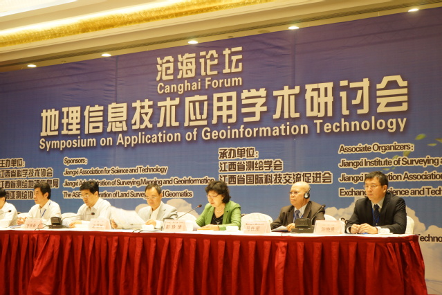
We have actively engaged in the international researchcollaboration and exchange of teachers and postgraduates in America, Canada, and France. To keep up to date with recent scientific developments, we have employed some noted experts and scholars in the field of surveying and mapping to lecture in our school. Moreover, our school has hosted some international conferences, like “Geospatial Technological Innovation"- Symposium of the International Society of Photogrammetry and Remote Sensing. Additionally, our Professor Chen Xiaoyong was the chairman of Spatial Data Quality Branch of the International Cartographic Society (ICA) from 2011 to 2015.

Achievements
Our school has made great achievements in terms of talent cultivation, student research, and social service.
Regarding talent cultivation, students have achieved excellence in different national multi-disciplinary competitions. Our school has sponsored about 90 students to take part in both national and international academic conferences. In the past five years, 20 postgraduates have been accepted into doctoral programs.
Regarding student research, students have published more than 390 academic papers, 130 of which are published in core journals like SCI, EI, CSSCI, and CSCD.
Regarding social service, many outstanding alumni have good reputations in their professions. They have become famous for establishing companies and serving as senior administers in national enterprises.
Programs
Survey Engineering
Core Courses: Principle and Application of GNSS,Engineering Surveying, Photogrammetry
Land Resource Management
Core Courses: Public Management, Digital Topographic Survey, Land Resources,Land Economics,GIS,Land Use Planning,Real Property Register Measurement, Real Estate Evaluation,Land Development and Arrangement, Land Laws and Regulations